Visiting : Mt Torbreck
Distance : ~40km ride, ~4.5km hike
When : Saturday 20th December, 6:30am @ Eildon
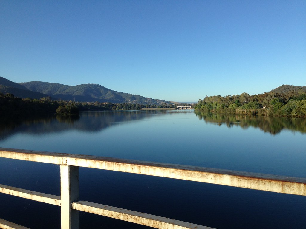
Bike in the back seat of the old Camry, I drove out to Eildon before sunrise. Windy roads in the hills, wombats in the middle of the road, rabbits zig-zagging all over the shop. I parked near the supie in Eildon and rolled back over the bridge on two wheels. The water was smooth and glassy as I span along the main road back out to the Snobs Creek turnoff.
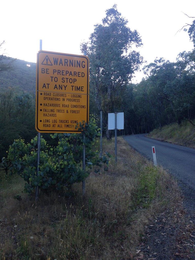
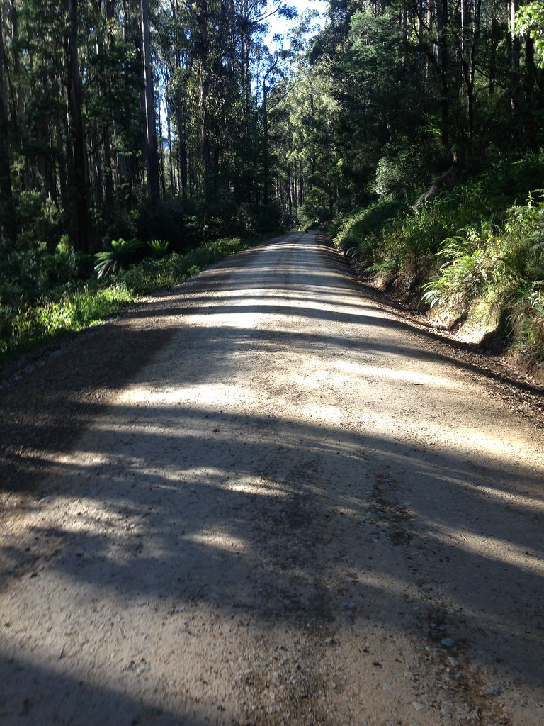
Snobs Creek Road follows Snobs Creek as it climbs up to its source between two steep ranges. A steady climb of about 17km, most of it well-maintained dirt road, avg. 5%. Nice. Only vehicle I saw on the way up was a lone logging truck.


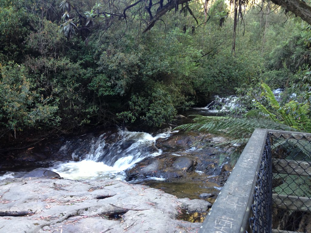
Stopped at Snobs Creek Falls for a look. Not the most stunning falls I've seen, to be honest. From the condition of the road beyond the falls it looked like most of the traffic went as far as the falls and then turned back. An underwhelming drive I'd say.
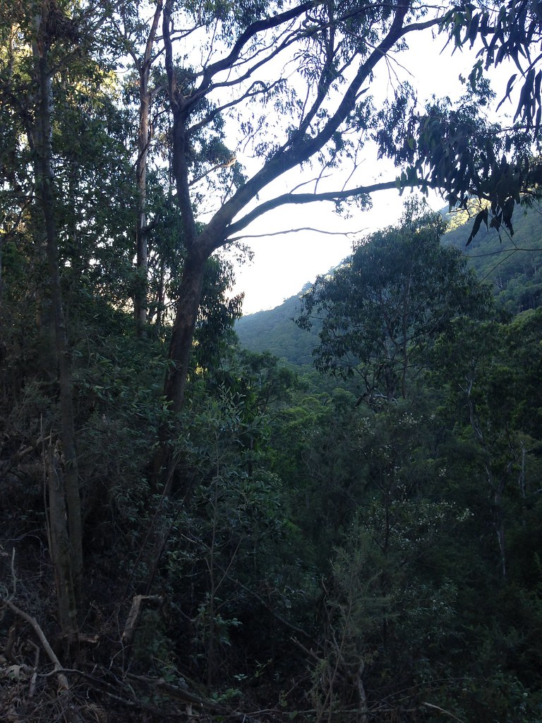
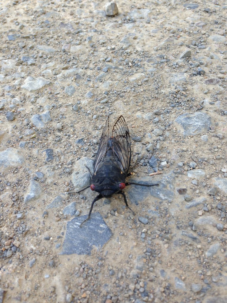
Beautiful old growth forest abounded. Cicadas were screeching and I even found one of the noisy buggers on the road.
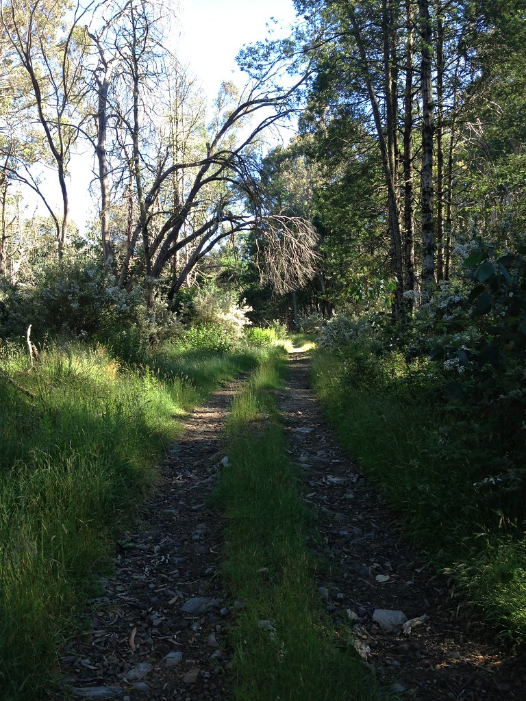
My turnoff onto Conn Gap Road came quickly. A rougher track than the "main" road but it soon gave way to an even rougher track - Barnewall Plains Road - a gnarly, rough 4wd track covered in rocks, sticks, branches, leaves and general crap. Doesn't see much use I'd say.


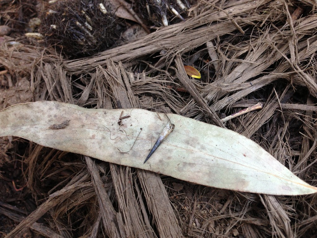
I hiked the steeper parts of this road and, on one section, head down looking where I was putting my feet, I noticed... a couple of turds. But... serious?! I couldn't believe it at first but, on closer inspection (yes, i got right down and had a good poke around, with a stick, not my fingers!) it became apparent that I was looking at two dog turds that had weathered enough that all the poo had washed away and all that was left was thick hair and echidna spines.
I shit you not.

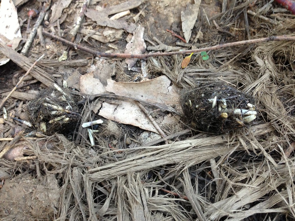
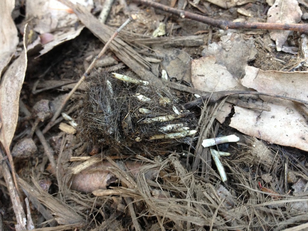
Apparently, dogs are one of the predators of echidnas. Wikipedia tells me that dogs and foxes will prey mostly on young echidnas. Judging from the size of the spines in the poo, this was not a particularly young echidna. Must be some bad-ass dogs out there in the bush. Literally. I love coming across stories like this.
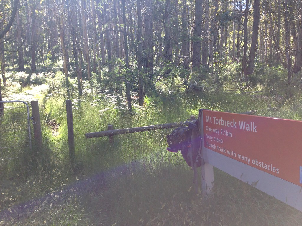
Pushing on up the hill, the track turned to grassy doubletrack and levelled out onto Barnewall Plains. There's a a picnic area with a table and some signage but not much else. Apparently, back in the 80's Mt Torbreck was approved as a possible location for a ski resort but nothing was ever developed there. So there ya go.
I scoped out the area, went back down the doubletrack a little, stashed my bike and got into hiking mode. All food/water/etc. was in or on my backpack and I was riding flat pedals in non-bike shoes so the transition was simple - swap helmet for peaked cap, wriggle shoulders out of bib straps and flip up collar on shirt. Done.
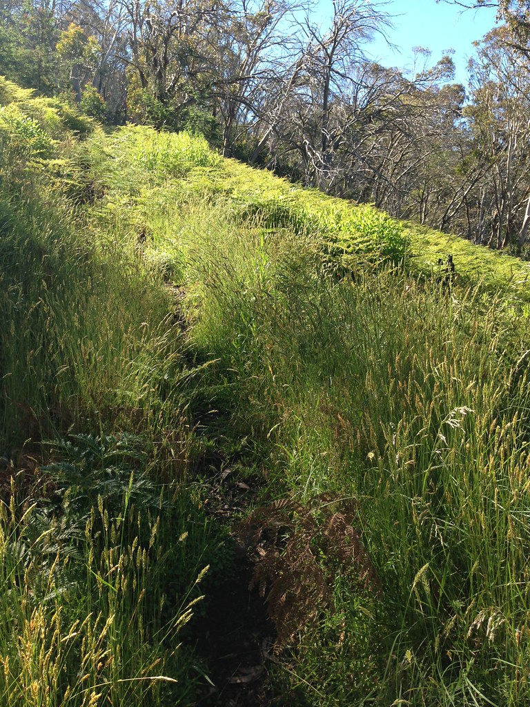
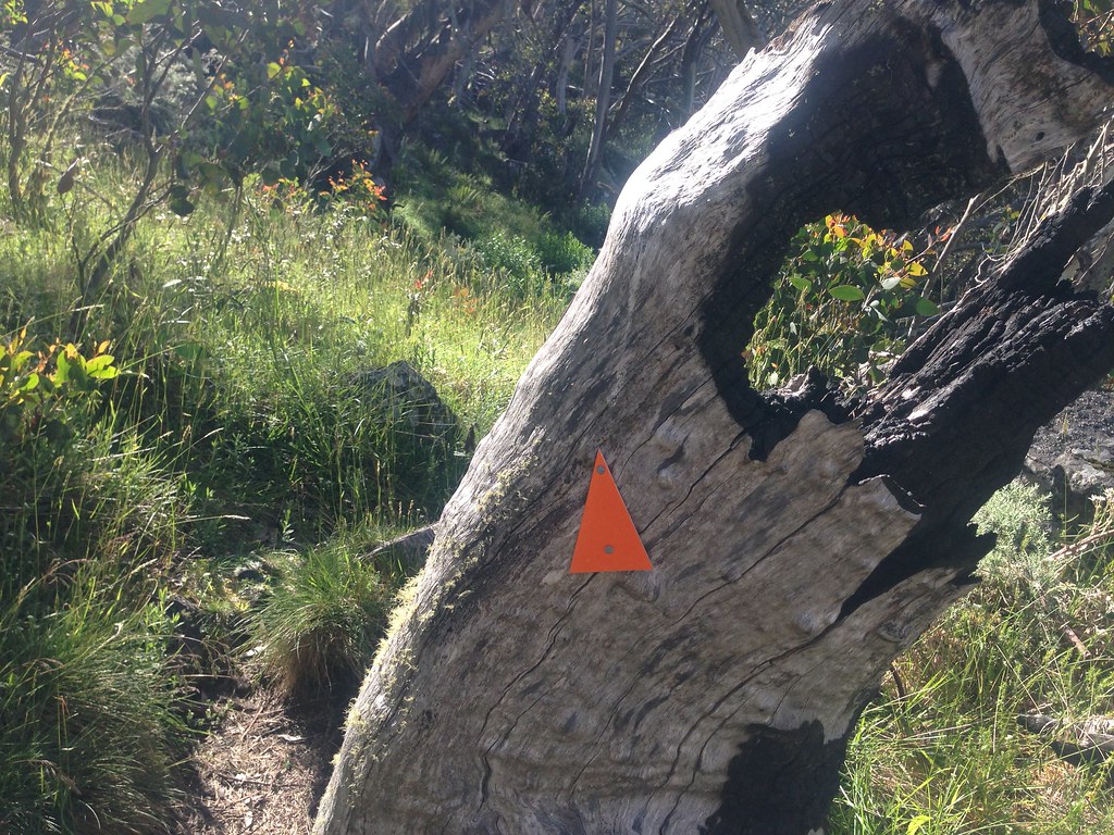
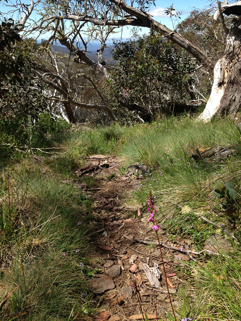
The hike was steep with lots of vegetation overhanging the track. I soon found a walking stick to help fend off the groping blackberries and make noise to alert Joe Blake to my presence. Didn't see a single reptile all day though the weather was perfect for them.


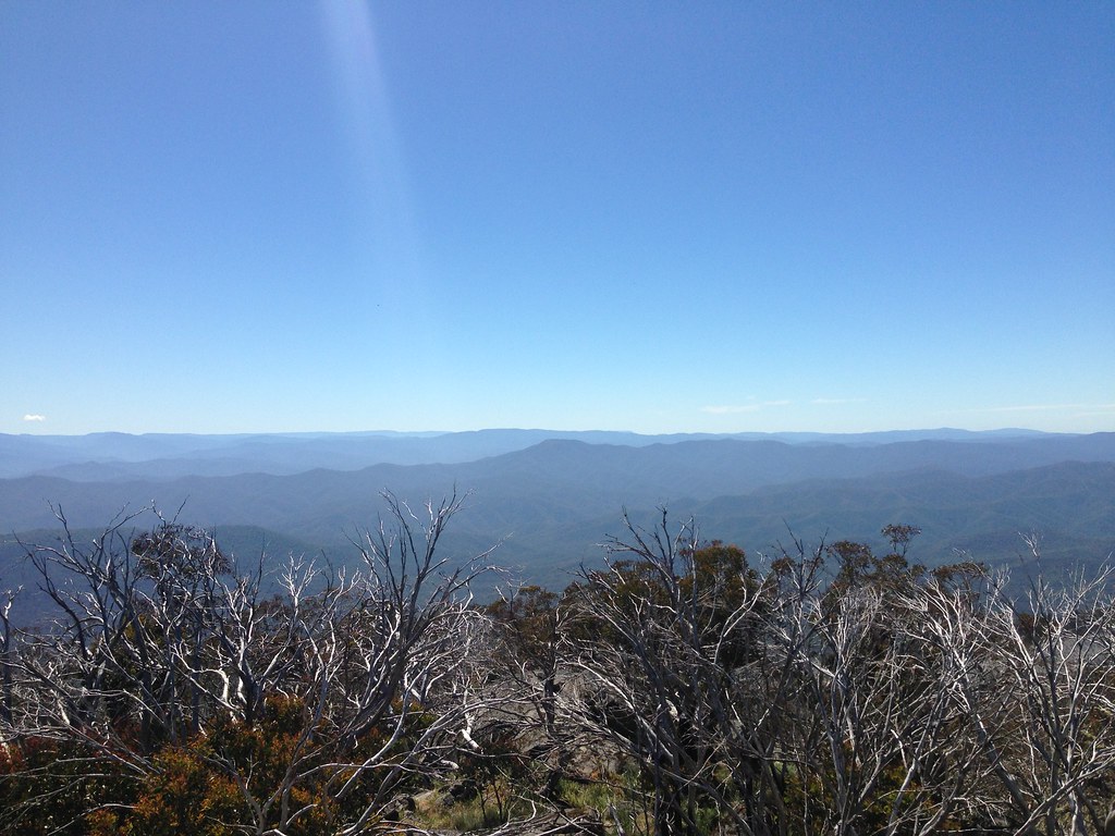
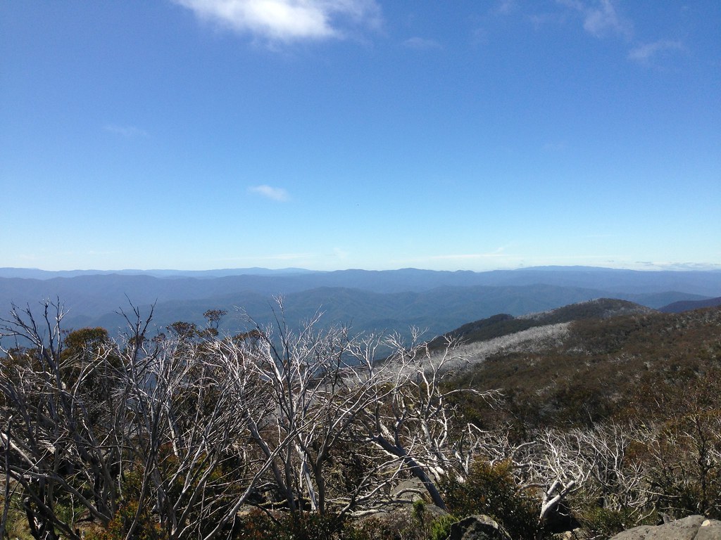
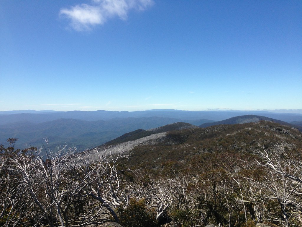
After a fun and interesting hike I reached the summit cairn, climbed on top and had my (late) breakfast. Amazing views from up there. Can't see much to the west (no city views) but the east and south were awesome. I munched on my muesli and studied the land spread out before me, trying to identify as many features as I could, scanning along ranges and peaks, relating it all to the map in my head that's been built up over years of goofing off at work looking at google maps instead of code.

Mt Terrible, Mt Skene, Dargo High Plains, Mt Matlock, Mt Baw Baw, Lake Mountain, even a little bit of the Strzeleckis - it was like looking out over the vast playground that I've been visiting and lusting over for the last few years. Each distant landmark brought back memories of previous rides that I'd done, that friends had done, that we'd planned but not yet done.
"Woods Point is out of sight between the two. And between Mt Matlock and Baw Baw, also out of sight, would be Lake Thomson which we did a lap of on Scooter's Woods Point Century."
"Mt Terrible with the fire tower just over there and that must be Mt Skene just behind it. Everyone's ridden it but me! Behind Skene on the horizon must be the long flat line of the Dargo High Plains - man, that time I crawled my way up it in the rain, have to go back there and see it in a better mood."
"Lake Mountain, that time Scott and I rode up there from Warburton, I almost lost control on the way down due to arms flapping uncontrollably due to shivering. The Strzeleckis far in the distance, Gareth's backyard, and site of some of the grumpiest hours on a bike I've ever subjected my riding partner to, also some of the happiest."
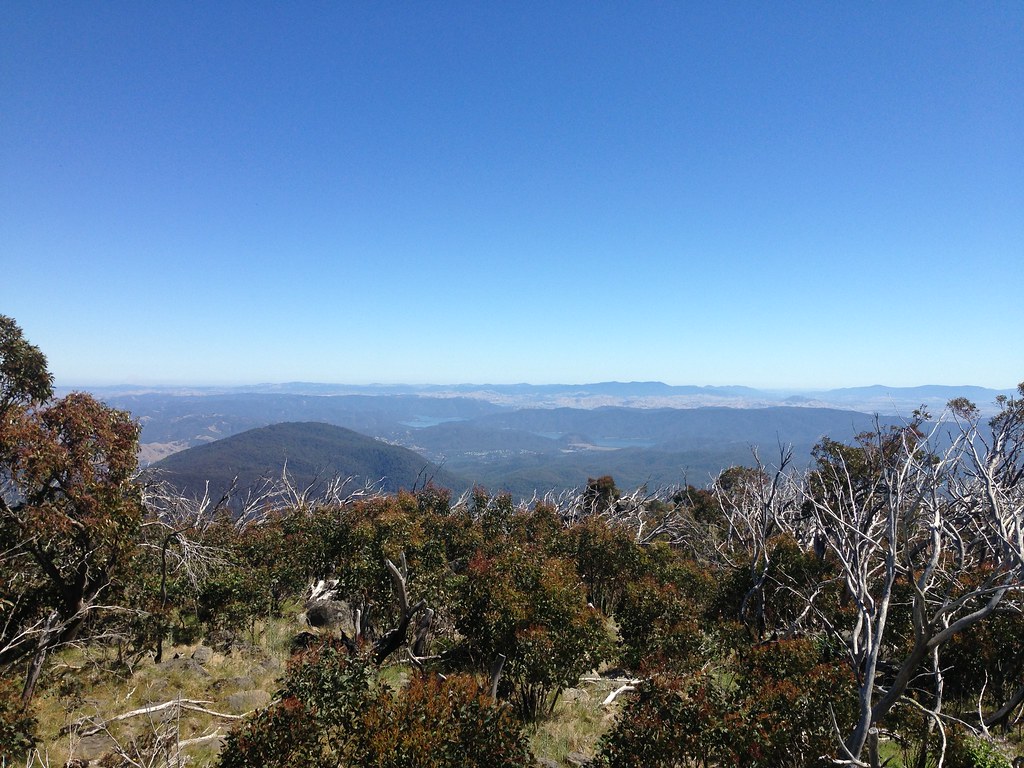
"Swinging right around, Jamieson must be down there somewhere and there's a beautiful clear view of Eildon with dam and lower pondage. You could probably trace the path of that LEiSL ride all the way around Eildon, down through Jamieson, Woods Point, back past Lake Mountain. BNT zig zags away out that way too."
Big broad strokes criss-crossing the landscape, literally as far as the eye could see, blue lines, purple lines, laid flat on the terrain like planned routes on a computer screen, gpx's downloaded from garmins and shared with mates eager to get route beta, to live an adventure vicariously.
So many stories. Looking out over the landscape I didn't only see the beautiful green and blue of the Australian bush, I saw so many years of stories, my own and others' and ones that are just a part of the bush, so many stories and adventures, successes, failures, joys and sorrows. A landscape full of stories.
The descent back down to Barnewall Plains went quickly and pretty soon I was riding my brakes back down the rough roads to Snobs Creek Road again. Then it was a ripper no brakes descent all the way back to the main road and a short spin back into town. Awesome.

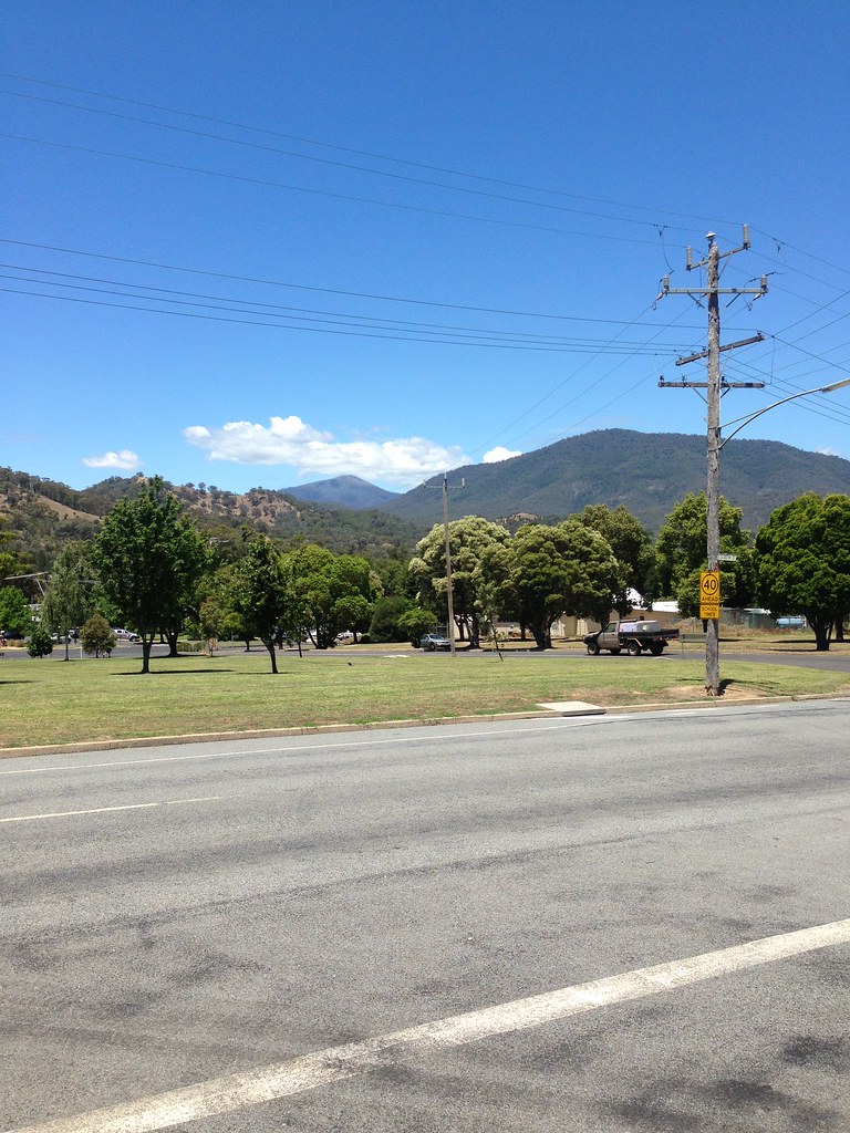
Knowing the lay of the land now, I found a clear view from the streets of Eildon and snapped a shot of Mt Torbreck in the distance. Love me some symmetry.
Driving back home I thought about all the stories out there in the hills and about the ones that excite me the most, the stories that I really want to know and live and read and tell, the ones that really get me pumped up and keen to get moving...
...the ones we haven't written yet.
Great write up (as per usual).
ReplyDeleteThanks for sharing your story.
Agreed great write up. Next time you head up there you should try the hike up to the plane crash memorial dedicated to 4 live lost on 16 May 1940
ReplyDeletehttps://dl.dropboxusercontent.com/u/37454303/fs-174-Avro_Anson_Plane_Crash_Mt_Torbreck.pdf
Thanks Anthony. So much to see and do up there hey?
Delete